before and after photosThis map shows the locations of campaigns I worked on between 2006 and 2014. – I may have to delete the older ones as the map of Lecale is getting too crowded with all the work I have done along the Lecale Coast and in Downpatrick over the years.
My up to date work is on my Facebook Page and Facebook Profile.
For more information on the older campaigns simply click on one of the ‘pins’ I have inserted in the map.
Also, have a look at a map of our area were the Greenland ice-sheet to melt sea levels would rise by 7.2 meters and the Antartic sheet would raise sea levels bt 70 meters. click here to see just 20 meters of sealevel rise in our area.
I am elected in Down District Council for the Lecale and Downpatrick local government areas, which also covers the coastal area from Strangford Town, Ballyhornan, Killough, Ardglass, Tyrella, and over to Dundrum Bay and Ballykinler.
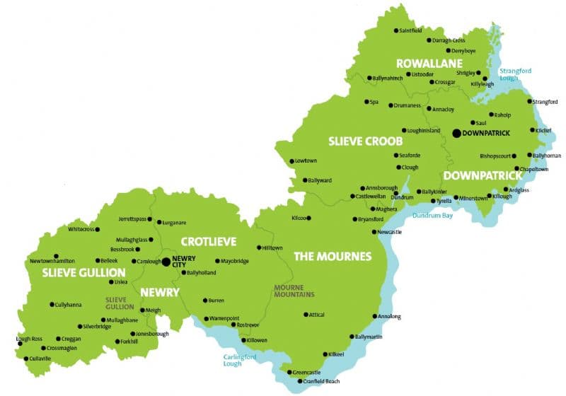
As the only environmentalist elected in this area, I am asked to help out across South Down, as you will see from the map below.
Electoral Boundaries Map
These are the new boundaries for our Council since 2014. All of Newry and Mourne Council was added to Down Council plus the electoral area around Sliebh Croob from Banbridge Council.
This would have allowed for the whole proposed National Park to have been in 1 local government area to ensure local democratic control. that moved Down under the reorganisation of local government. A policy I strongly campaigned for.
This merger has not been a great success for the people of Downpatrick and Lecale as the 2 big parties are led from Newry
Thus our new Newry. Mourne and Down Council has seen a huge shift of focus and investment away from East Down and toward Newry since the merger.